After discovering that his hometown was entirely absent from Google Street View, one man from Zimbabwe decided things had to change.
When Tawanda Kanhema moved to the United States in 2009 from Harare, the capital of his country Zimbabwe, he might have looked forward to showing people what his hometown looked as a major African city. However the self-described tech enthusiast discovered none of the streets and quarters of Harare were visible on Google Street View.
If you can imagine the disappointment of noticing your home city of 1.6 million people somehow didn’t exist on one of the world’s largest collection of digital maps, Kanhema also realized that his entire country was absent from street view.
He further learned that a bunch of other African countries were absent as well.
“When you look at Street View, you’re looking at this mosaic of images that show how people live across the world, how people conduct commerce, how people get around,” Kanhema told National Public Radio. “I found it quite jarring that a lot of the countries in the region were not on the map.”
A New Hobby
Currently working in Silicon Valley, the Berkeley resident volunteered to help Google get eyes and boots on the ground in some of what Kanhema considered Africa’s techno-neglected countries. After all, travelers from around the world might like to better plan their routes through these diverse states by seeing what they look like.
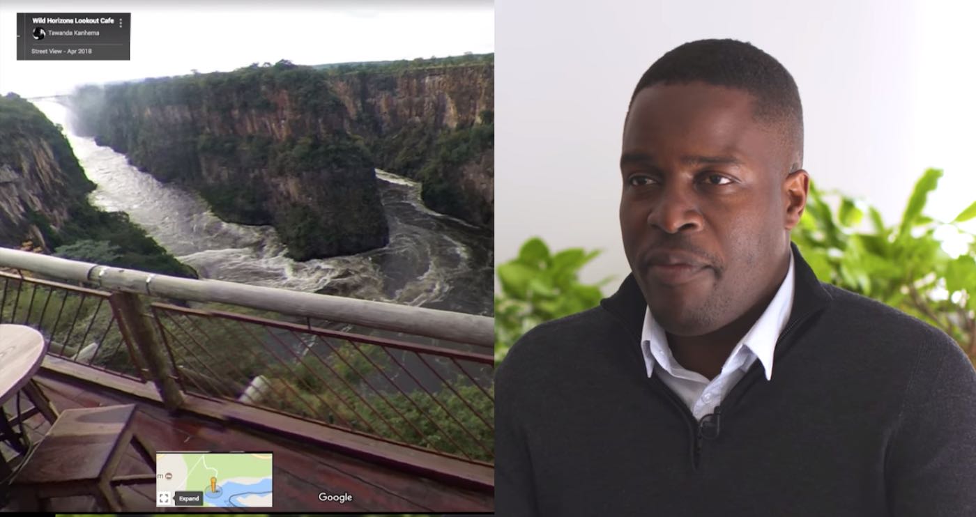
He wound up borrowing a 360-degree camera through Google’s Street View Loan Program and using it in a car as well as on the end of a 4-foot rod attached to his clothing. His trip in 2018 included a safari through a national park, boating down the Zambezi River, shooting Victoria Falls (below), and traversing over 2,000 miles of roads in Harare and other cities—it put Zimbabwe on the map.
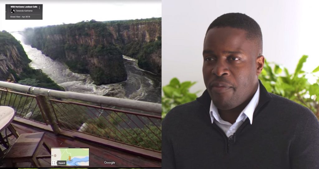
“It’s so conspicuous to have a 4-foot contraption attached to the roof of your car,” Kanhema told NPR. “People are walking up and asking questions about, ‘Is that a camera? What are you recording? What are you filming? It is for Google Maps? Will my house be on the map? Will my face be on the map?”
Atlases, globes and maps are an incredibly important part of how we conceptualize the world. Google Maps can confer a tremendous amount of information quickly, from the names, addresses and contact information of businesses, to local landmarks, to customer reviews and also grid patterns and street names to help plan commuting routes.
“We should do more to make sure that those communities are represented,” Kanhema says. “We should do more to showcase the businesses, the local businesses in those areas and also the tourist attractions.”
A Kind of Documentary
Having spent $5,000 of his own money on the project, Kanhema sees it as a sort of documentary, with the gigabytes worth of sometimes stunning, sometimes quaint, sometimes informative photographs possessing the potential to connect people to his homeland from across the globe, perhaps contributing to her historically-troubled economy by adding tourist revenue.
His work has also seen him map the frozen ice-roads which the Mushkegowuk Nation in Northern Ontario use to traverse the land in winter.
“Imagine being able to lend a ticket to get on a helicopter tour of one of the seven natural wonders of the world and being able to bring at least a million other people with you by creating these images that people can look at and feel as though they were there,” he says.
WATCH an interview…
Map This Remarkable Story By Putting it on Social Media…


