")


")


What a year it has been since we first reflected on Cannes Lions 2024. GNN’s momentum in launching new exciting products mirrors the industry around us—creator-led content is intensifying while advertising is becoming more about making a difference in the world.
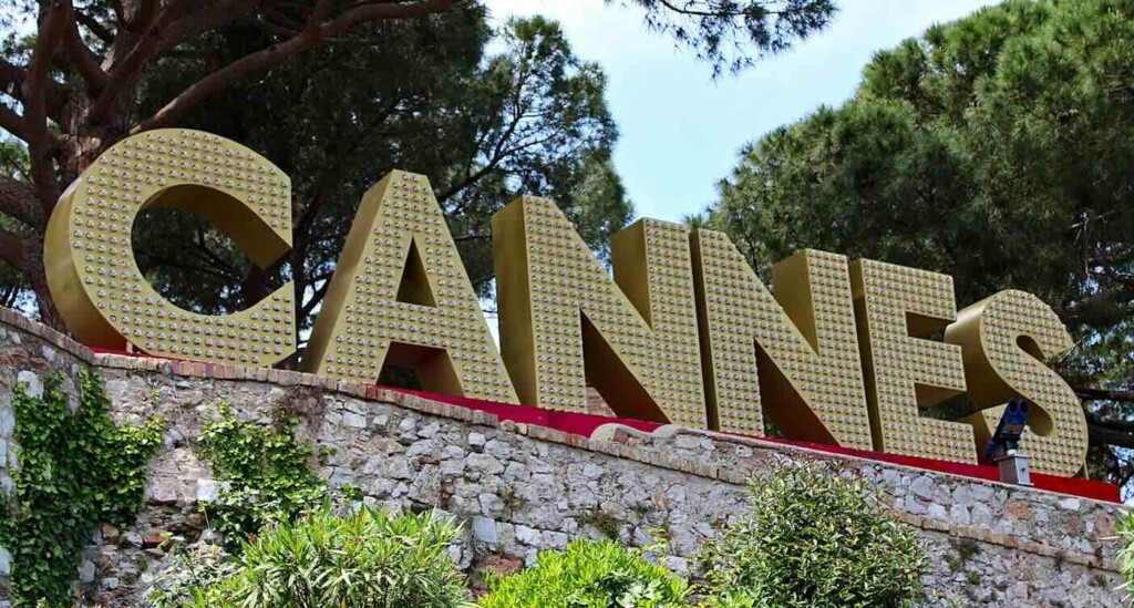
We at Good News Network are incredibly energized as we gear up for Cannes Lions 2025. The insights from last year’s festival resonates with our mission, particularly the power of authentic partnerships in shaping impactful narratives. We’re thrilled to be heading back to the French Riviera again this month with even greater focus on using marketing to change the world through news and entertainment.
We’re looking forward to reconnecting and forging new collaborations with some of the most forward-thinking organizations in the industry. Our agenda includes meet-ups with our partners at Whalar Group, who continue to champion the creator economy for good.
We’re also eager to connect with the inspiring leaders at Chief, the powerful network for women executives, and explore new frontiers in distribution and audience engagement with ReachTV. Conversations with industry giants like MediaLink (UTA) and the brilliant storytellers at Inkwell are also high on our list, as we delve deeper into strategies for amplifying positive content.
The core of these upcoming discussions will be centered on what we saw take hold in 2024 and what we believe is the undeniable future: impact-driven marketing and creator-led content. We’re keen to explore how these forces can be harnessed to not only tell compelling stories but also contribute to a positive, more connected, global community.
I realized last year after my trip to Cannes (see the article from 2024 below) that the industry dialogue had shifted from if brands should focus on impact, to how they can do so most effectively and authentically—with creators and influencers leading much of that charge.
Good News Network was thrilled to be part of that evolving landscape, continually seeking out and celebrating the stories of brands and people who were not just imagining a better future, but actively building it.
Stay tuned as we bring you insights and updates from #CannesLions2025. The future of media is bright as thousands gather in France to combine creativity with a genuine desire to reach people and make a difference.
Flashbacks From Cannes Lions 2024: Reflections After an Inspiring Week
Cannes Lions 2024: Where Impact and Creators Roared, Paving the Way for a Purpose-Driven Future
(July 2024 – By Anthony Samadani) – The balmy breezes of the French Riviera carried more than just the scent of the sea during the 2024 Cannes Lions International Festival of Creativity. This year, the prestigious event was an undeniable epicenter of positive change, a vibrant hub where brands dedicated to making a tangible impact converged with the revolutionary force of the creator economy.
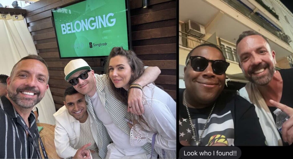
For Good News Network (GNN), being amidst this energy, particularly through our incredible partnership with the Whalar Group, was an inspiring glimpse into the future of media and advertising – a future where doing good is not just a tagline, but the driving force behind compelling storytelling and brand success.
Throughout the week, the Whalar Group beach served as a fantastic base for GNN, offering unparalleled access to a dynamic mix of thought leaders, innovative brands, and passionate creators, all deeply invested in harnessing the power of the creator economy for positive impact. It was clear that Cannes Lions 2024 wasn’t just about celebrating creativity for creativity’s sake; it was about showcasing how brands can be powerful conduits for good, producing advertisements and branded entertainment that not only captivate audiences but also drive meaningful change.
The buzz around impact-driven marketing was palpable. We saw countless examples of campaigns that seamlessly blended brand messaging with genuine purpose, resonating with a global audience increasingly drawn to authenticity and values-driven initiatives. This focus on “brands doing good” wasn’t a niche conversation whispered in hushed corners; it was front and center, celebrated on the main stages and recognized with prestigious awards. It underscored a significant shift: consumers are demanding more than just products; they are investing in brands that align with their own aspirations for a better world.
Hand-in-hand with this emphasis on impact was the undeniable rise of the creator economy. The festival highlighted how creators are fundamentally reshaping the landscape of commercials and branded entertainment. No longer are they just an alternative channel; they are increasingly becoming the primary architects of brand narratives. Their authentic voices, engaged communities, and understanding of digital platforms offer brands a unique opportunity to connect with audiences in possibly a more impactful way. The discussions at Cannes revolved around how this synergy between brands and creators can lead to more relatable, and ultimately, more effective communication.
Our time with Whalar Group, a global leader in unleashing the creative power of creators, solidified this understanding. Their commitment to fostering authentic collaborations that drive real-world impact mirrored the overarching themes of the festival. Witnessing firsthand their dedication to connecting brands with creators who genuinely care about making a difference was both affirming and invigorating. The conversations and connections made at the Whalar beach underscored the immense potential when purpose-driven brands and visionary creators unite.
The seeds have been planted for a coming harvest – the fusion of impact-focused branding with the dynamic potential of the creator economy. The bounty we intend to produce will emphasize measurable impact, authentic storytelling, and collaborations that leverage the unique strengths of our new partners to inspire positive action while producing more content for a larger audience.
The roar of the Lions last week was a call to action, and we’re excited to answer it for GNN with trumpets blaring! #CannesLions2024


 - University of Maryland Medical Center (right)")


 and Jack at 100 – Credit McCarthy Stone - SWNS")