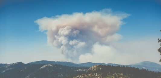
A new state of the art satellite imaging program will allow California fire authorities to map every individual tree in the state as a means to better plan and monitor for fires. The catastrophic fires typifying the last few fire seasons in California’s forests have had scientists brainstorming new and better ways to combat them, … Continue reading After Talking to Firefighters, a Startup Created a Tool That Maps Every California Tree to Help Predict Fire Spread
0 Comments
